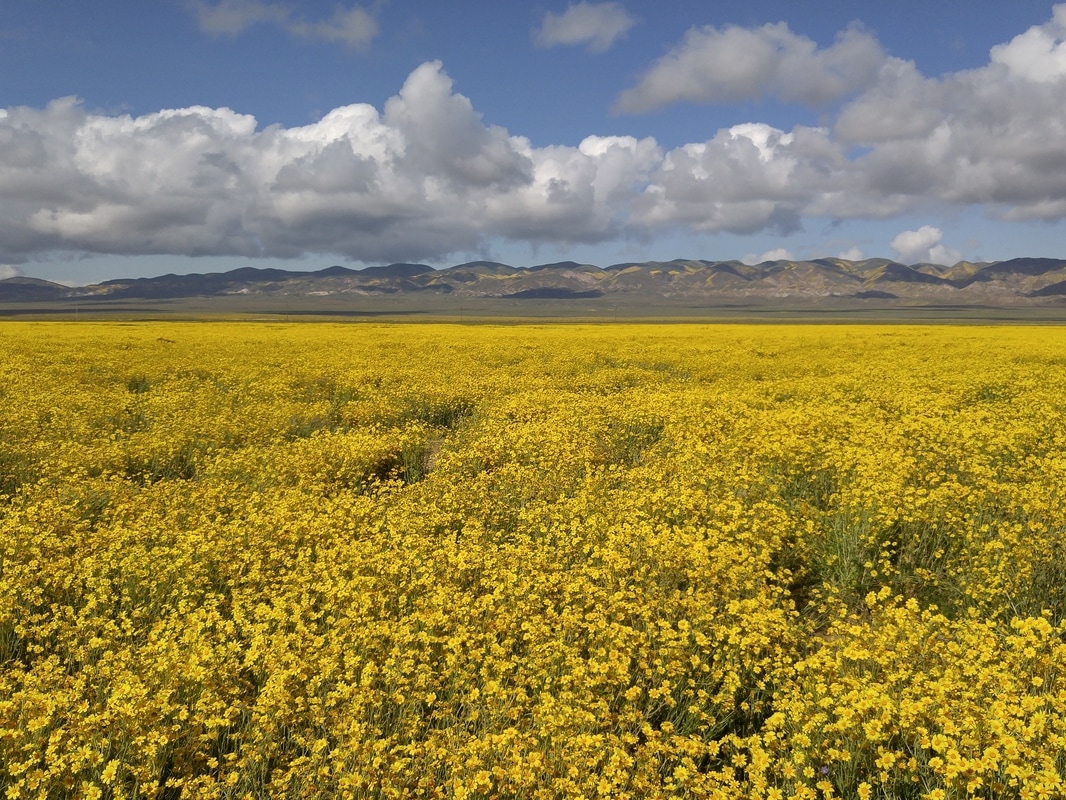
 Carrizo: miles and miles and miles.... 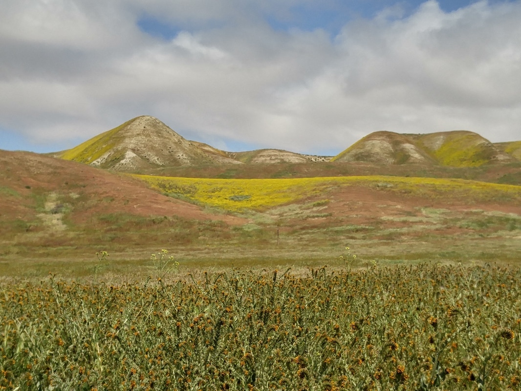 Carrizo: Hillsides all the way down the valley 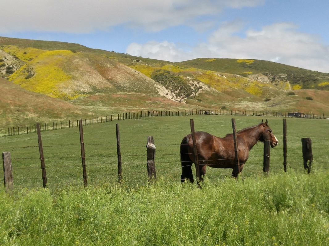 Carrizo: One of only two ranches down the valley  Carrizo: Tidy tips 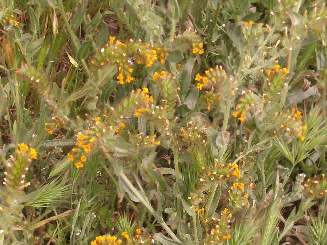 Carrizo: Fiddelnecks 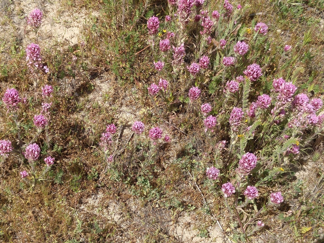 Carrizo: Owl's clover 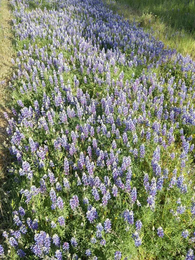 Highway 58: lupine 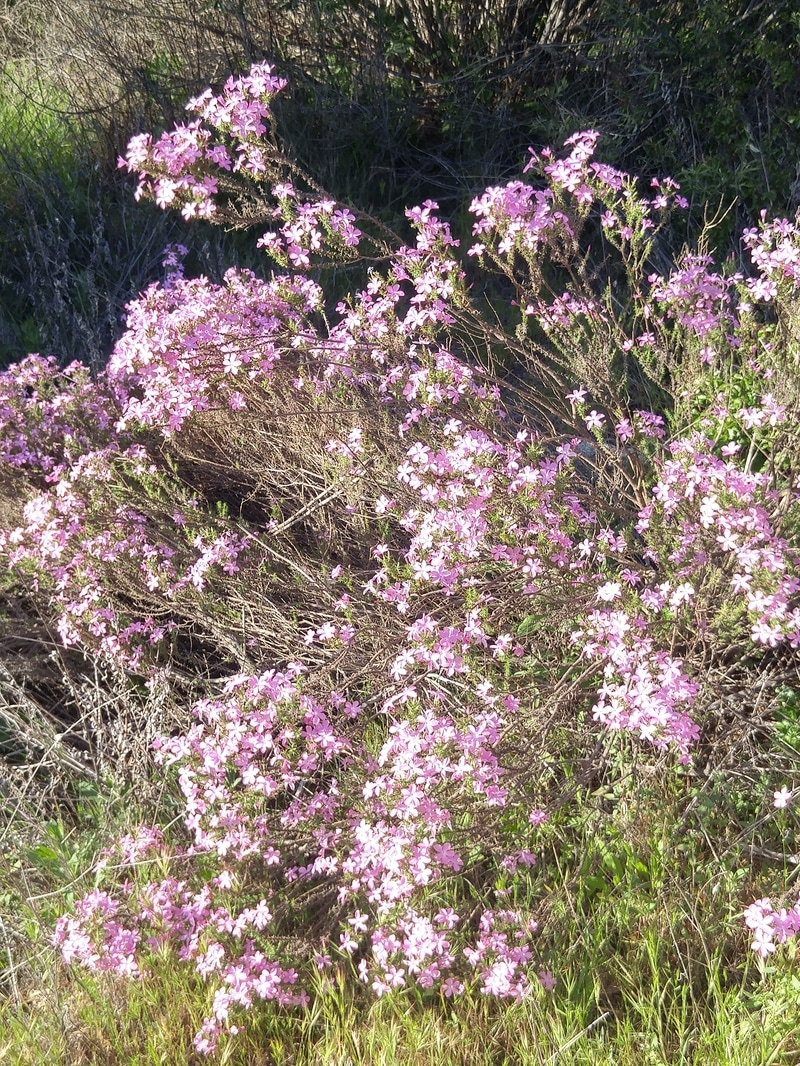 Highway 58: Phlox 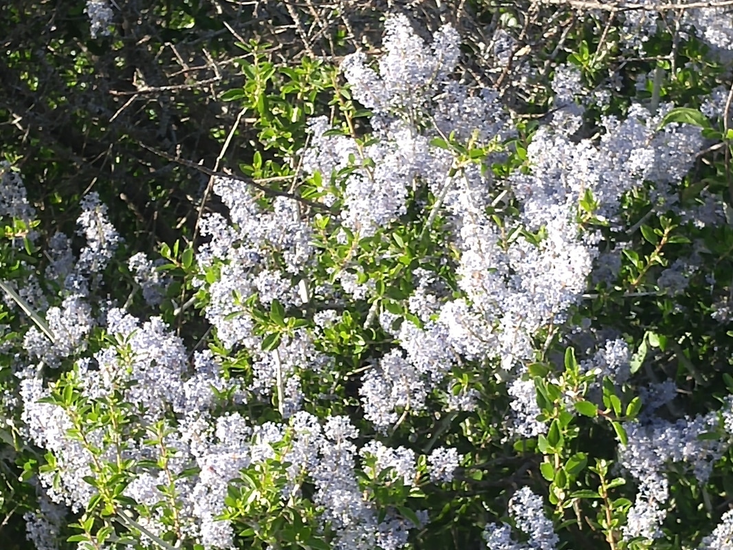 Highway 58: Ceanothus 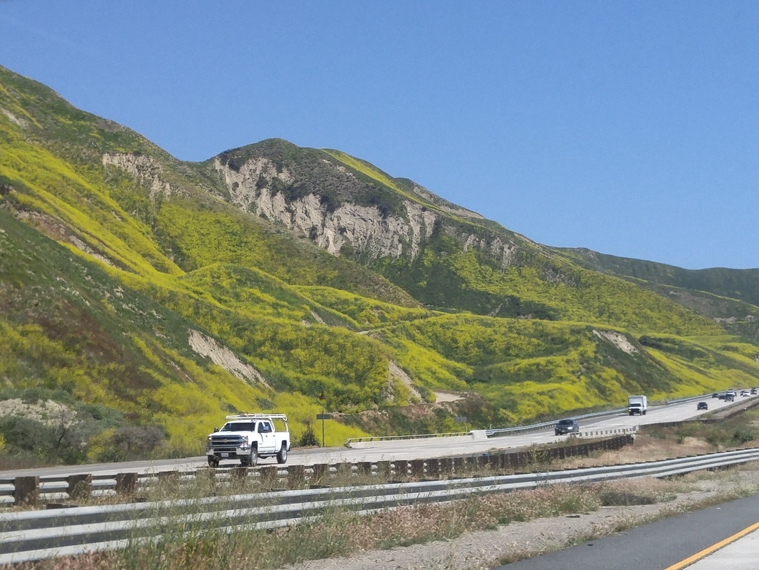 Route 101 south of Carpinteria: Miles of mustard grass 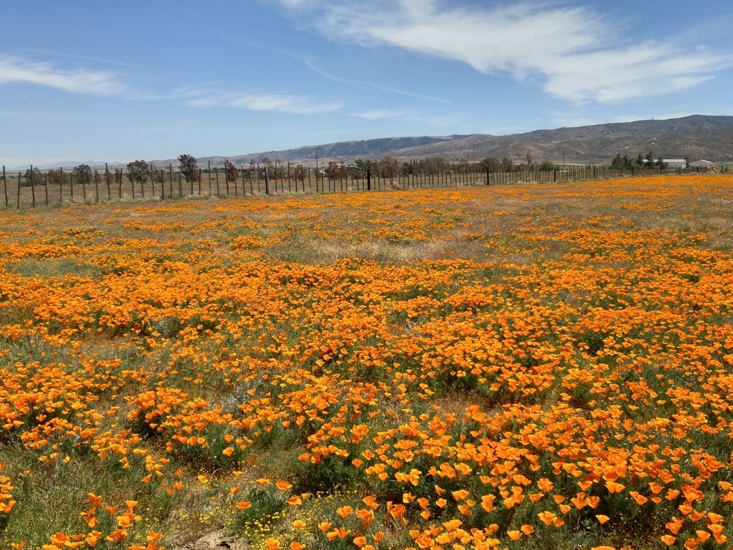 Highway 138 from I-5 going east: A fenced-in poppyfield 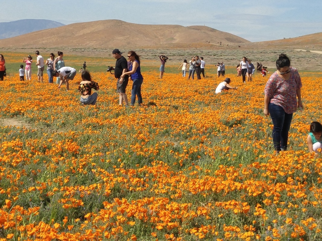 Antelope Valley Poppy Preserve: crowds loving them 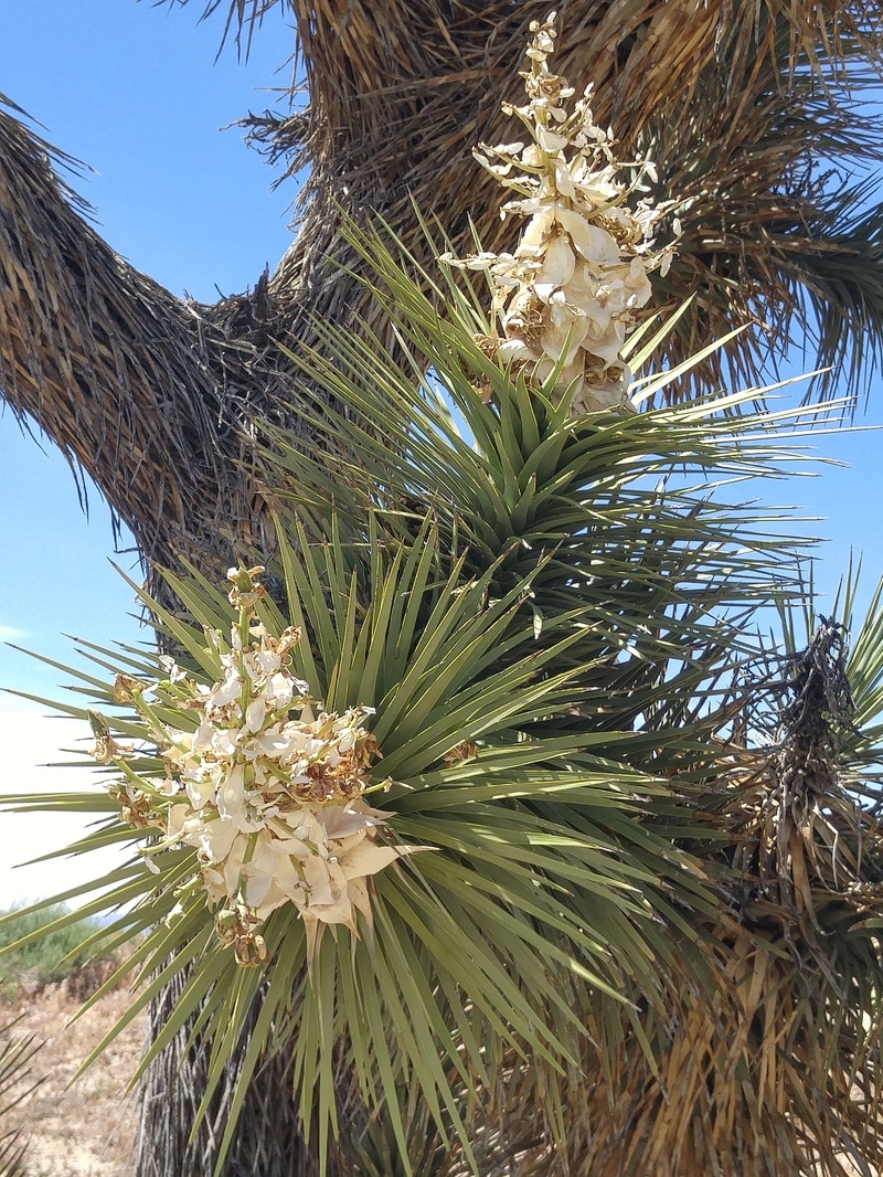 Antelope: Joshua Tree at end of bloom 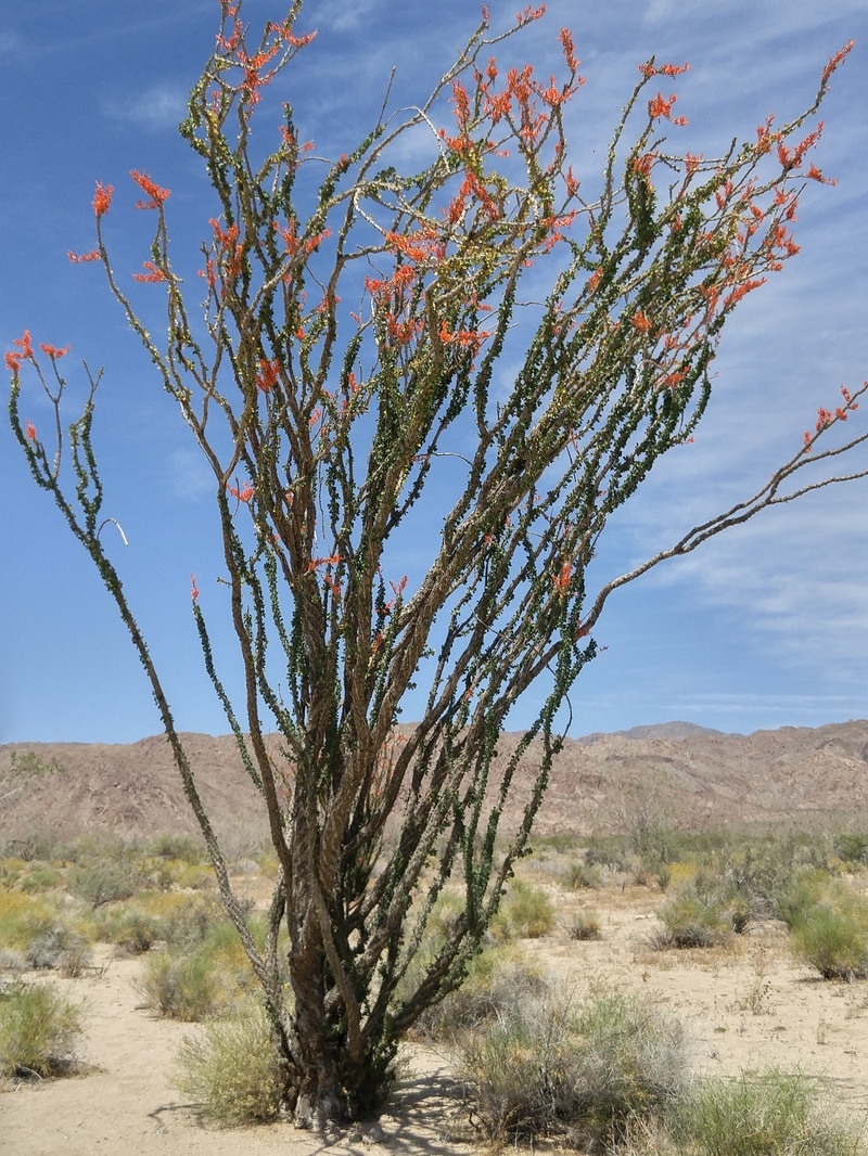 Joshua: Ocotillo 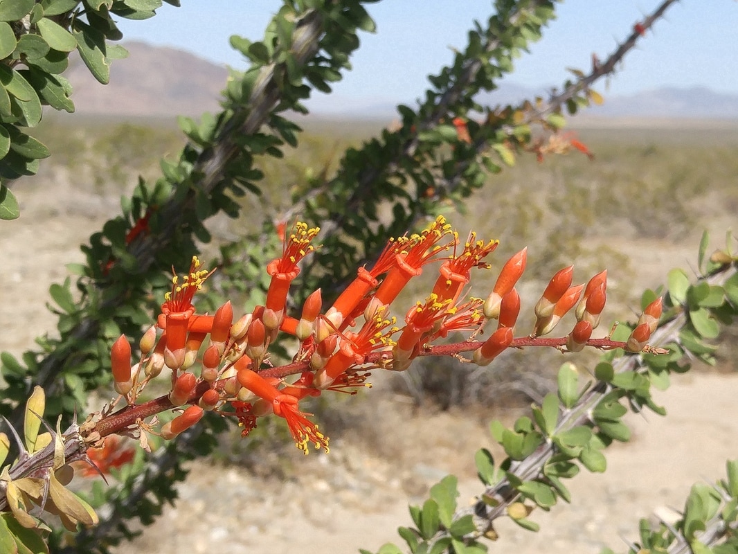 Joshua: Ocotillo blossom 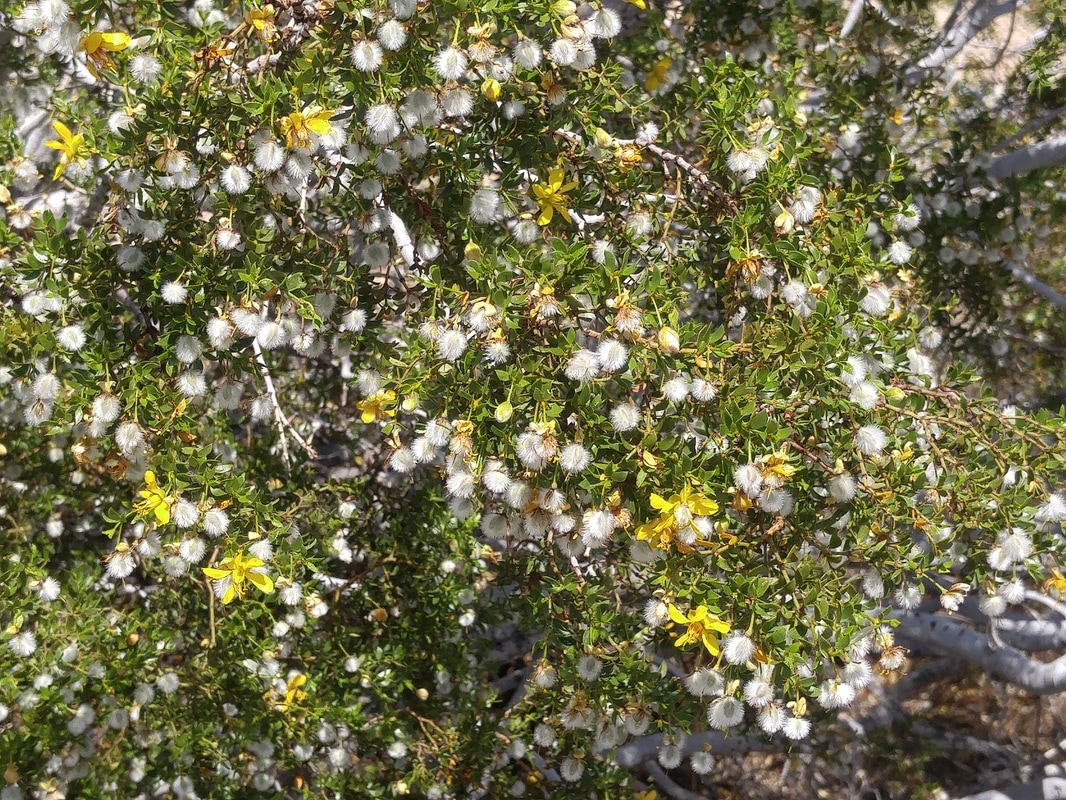 Joshua: creosote bush 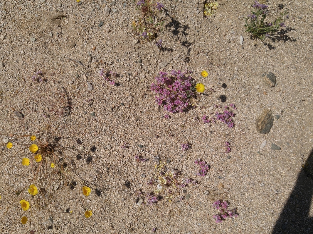 Joshua: "belly" flowers which you can look at closely only by getting onto your belly..... 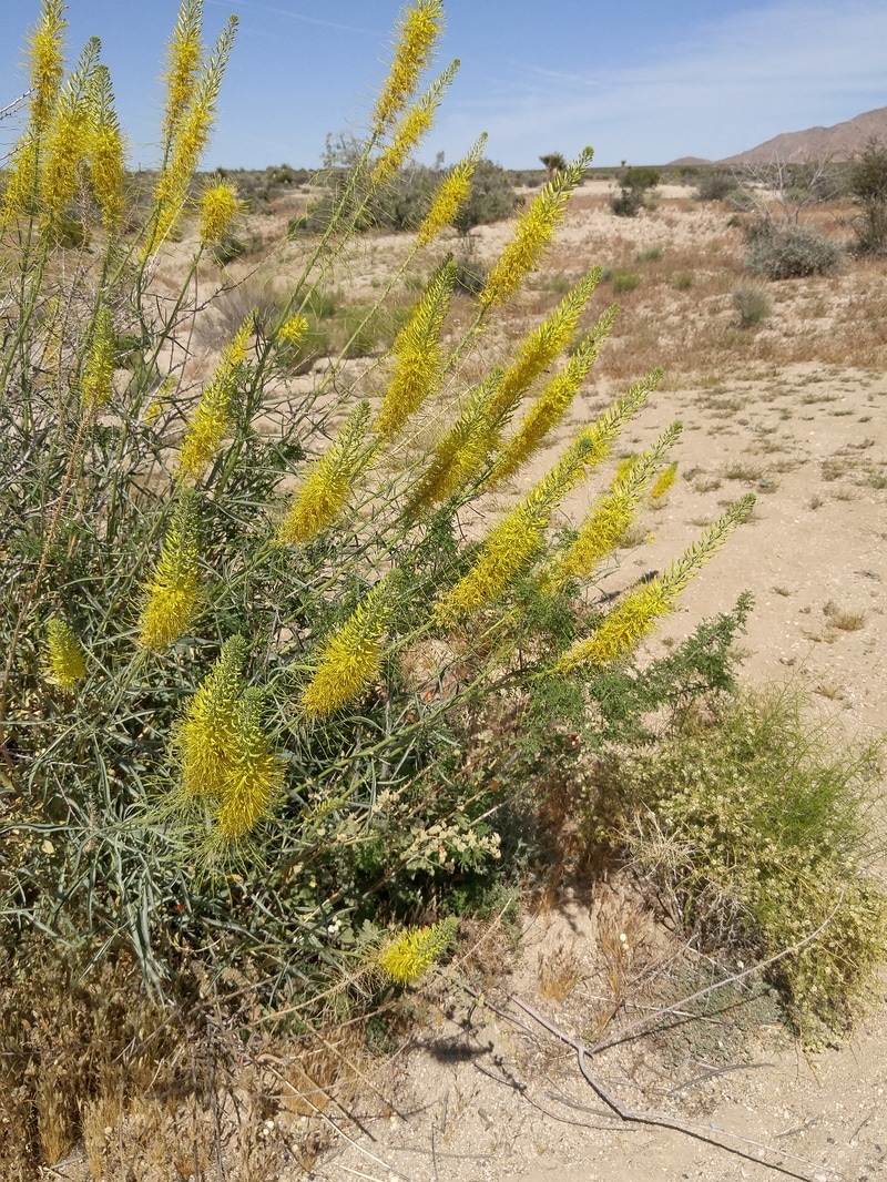 Joshua: Prince's Plume 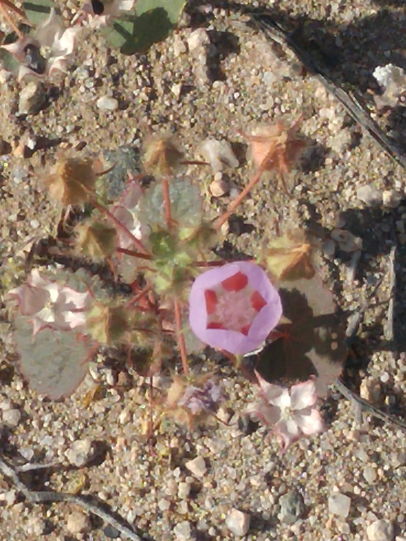 Joahua: Five-Spot 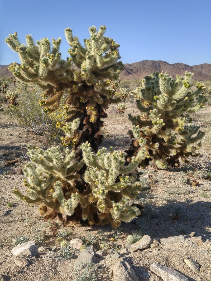 Joshua: Cholla 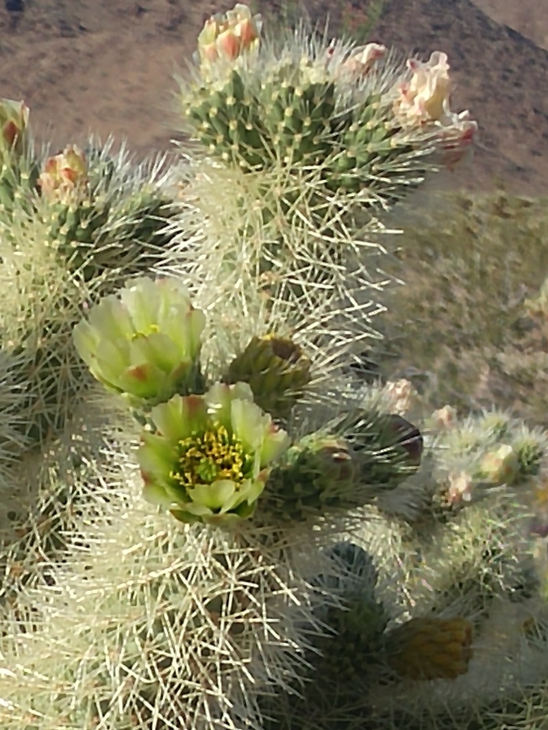 Joshua: Cholla blossom | The scale is what makes visiting wildflower areas so astounding. A patch of poppies a couple of feet across is impressive. But extend this to several full hillsides or an entire miles-wide valley, and add the breezes animating them, the brilliantly blue sky, the puffy white clouds, and the absolute silence except for the chirping birds and humming bees, and the immersion swallows you up. As Huell Howser would have said, “It’s Amazing!” Here are photos from some of the day trips we made over the last several weeks to a couple of the sites detailed on the Theodore Payne Foundation Wildflower Hotline, http://theodorepayne.org/education/wildflower-hotline/. Hope you too can enjoy some of them before the hot weather dries them up – higher elevations will hold more blooming delight! Carrizo Plain National Monument A three-hour drive from Pasadena, north on I-5 just past the split with route 99, west on route 166 to Maricopa, continuing south on route 166/33, then west on Soda Lake Road for about 30 miles (much of it firm but unpaved and washboard road) to the Guy Goodwin Education Center, which has a garden identifying many of the flowers you’ll see along the route. Another 15 miles takes you to route 58 to loop back to I-5 or continue further west to San Luis Obispo. Highway 101 between Carpinteria and Ventura On our way home the long way round from Carrizo to San Luis Obispo, we came down the coast on route 101 and were amazed to see the entire set of hillsides awash in brilliantly chartreuse mustard grass, with the southernmost hill all in poppies. Antelope Valley Poppy Reserve A 1.5-hour drive from Pasadena north on I-5, going east on route 138 just south of Gorman (which had no color yet), and traveling about another about 20 miles to the Preserve. We prefer going in this loop direction, rather than to Lancaster first and then west, for nicer lighting on the colorful hills. Joshua Tree National Park A three-hour drive from Pasadena, east on the I-10 freeway past the turnoff to Palm Springs and just before Chiriaco Summit. The exit north is Cottonwood Springs Road, which becomes Pinto Basin Road and then Utah Trail near Twenty-Nine Palms. Most of the blooming ocotillos and other flowers were located at this southern end of the monument, and the chollas about 20 miles up, so we returned back to the I-10 instead of continuing up to Twenty-Nine Palms. |
|
2 Comments
7/19/2022 05:01:40 pm
This gorgeously produced book includes 200 full-color panoramic photos, a color map of each place, and information panels that emphasize the kind of flowers found there and the ideal times to observe them in bloom. Each location's botanical profile is included in the explanatory language, along with details on the environment, conservation status, and animal life that can be found there. Leave a Reply. |
Categories |
 RSS Feed