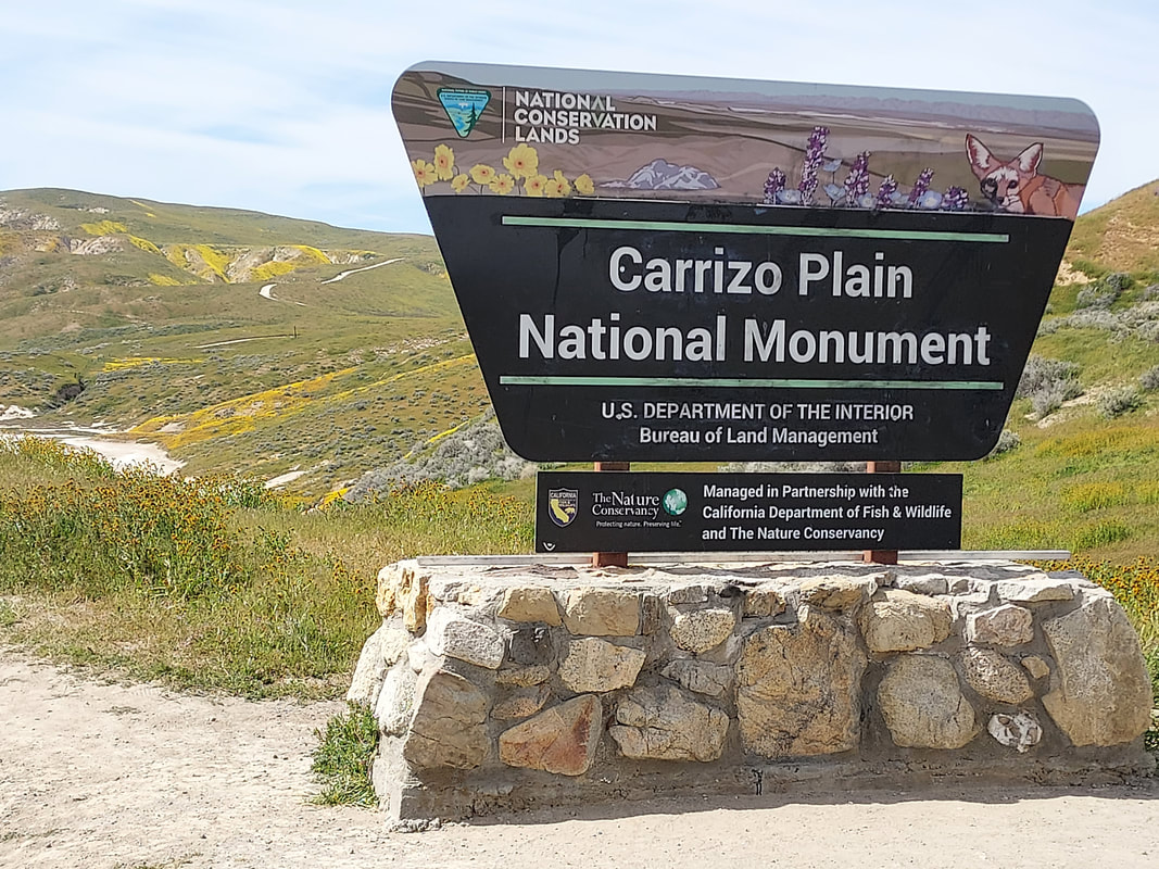
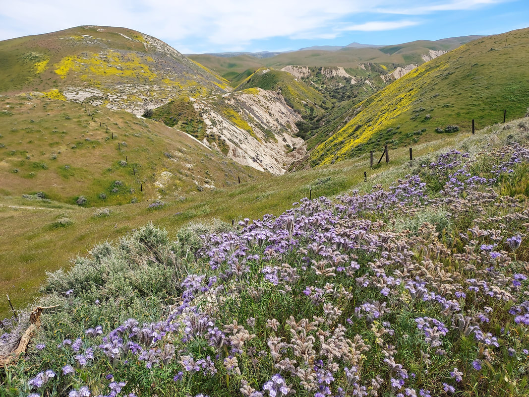
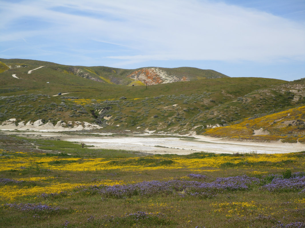
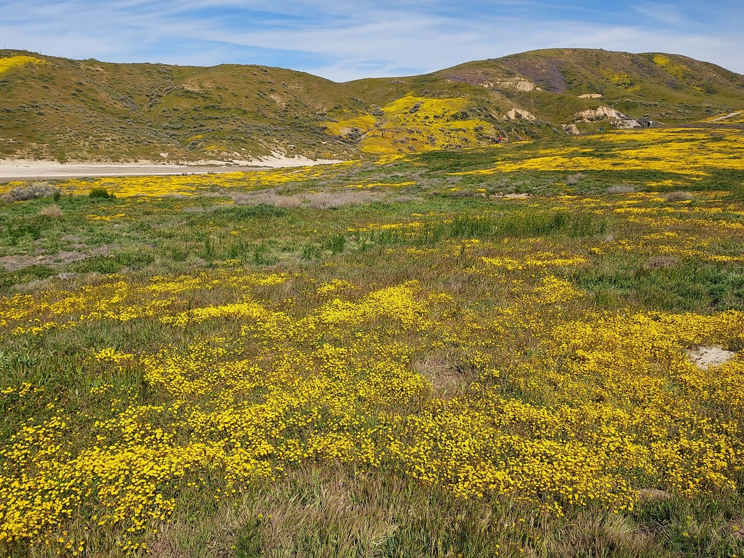
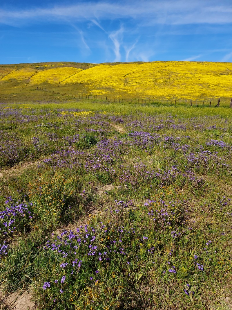
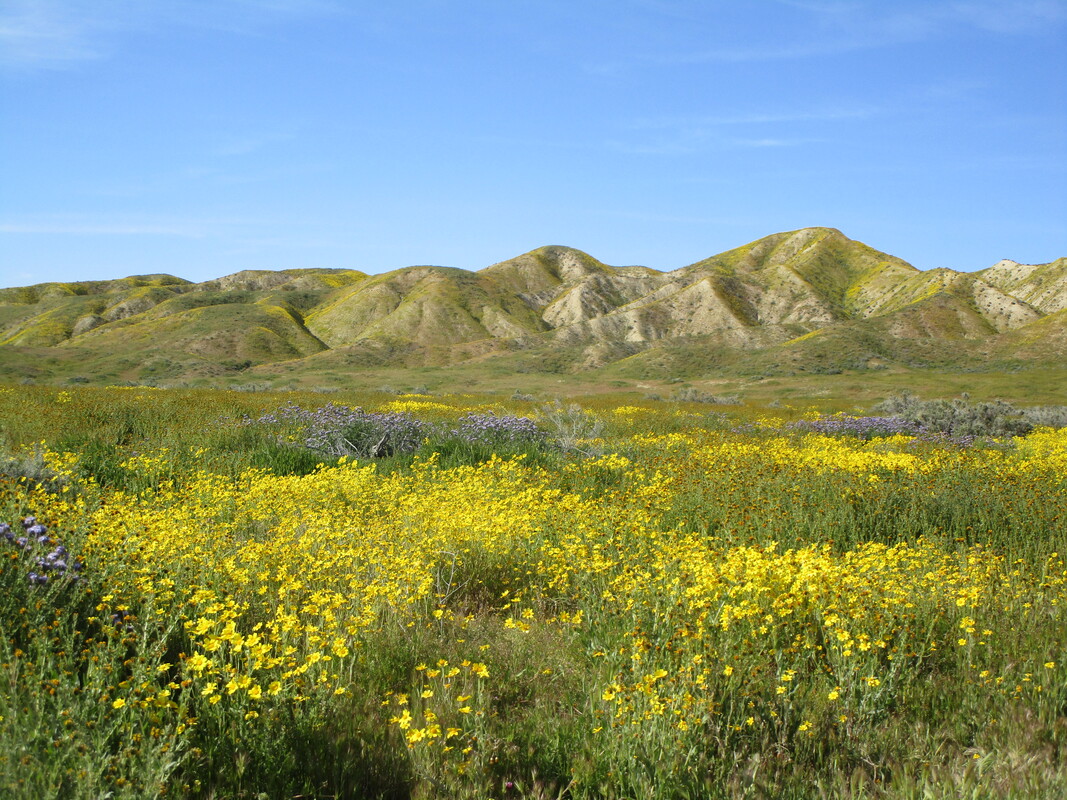
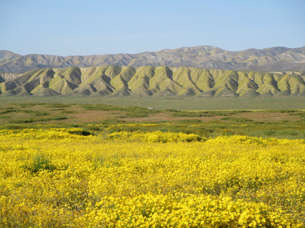
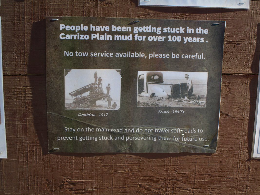
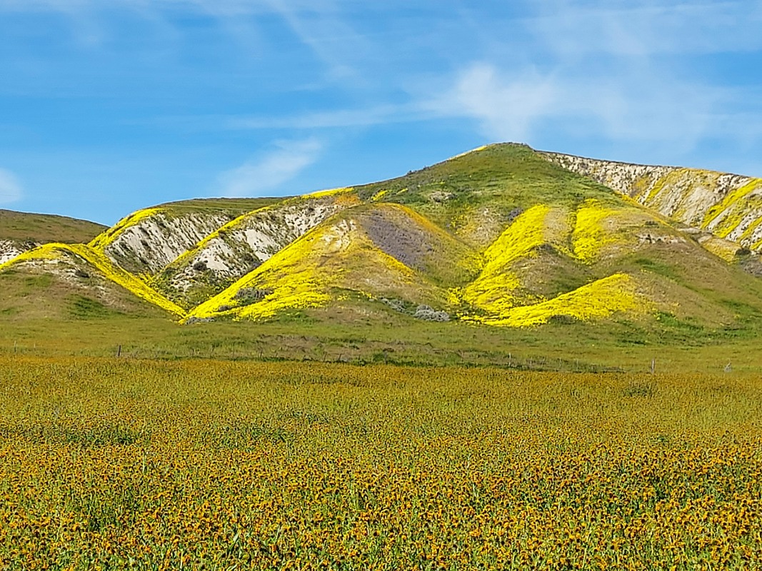
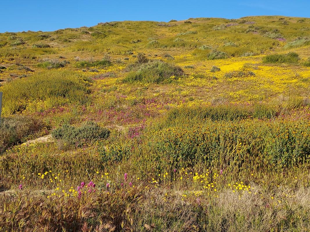
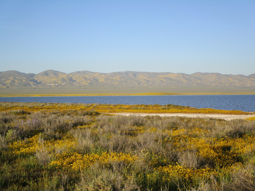
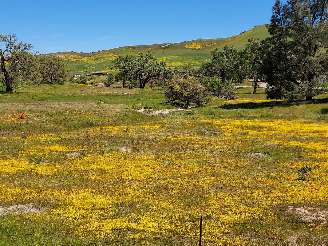
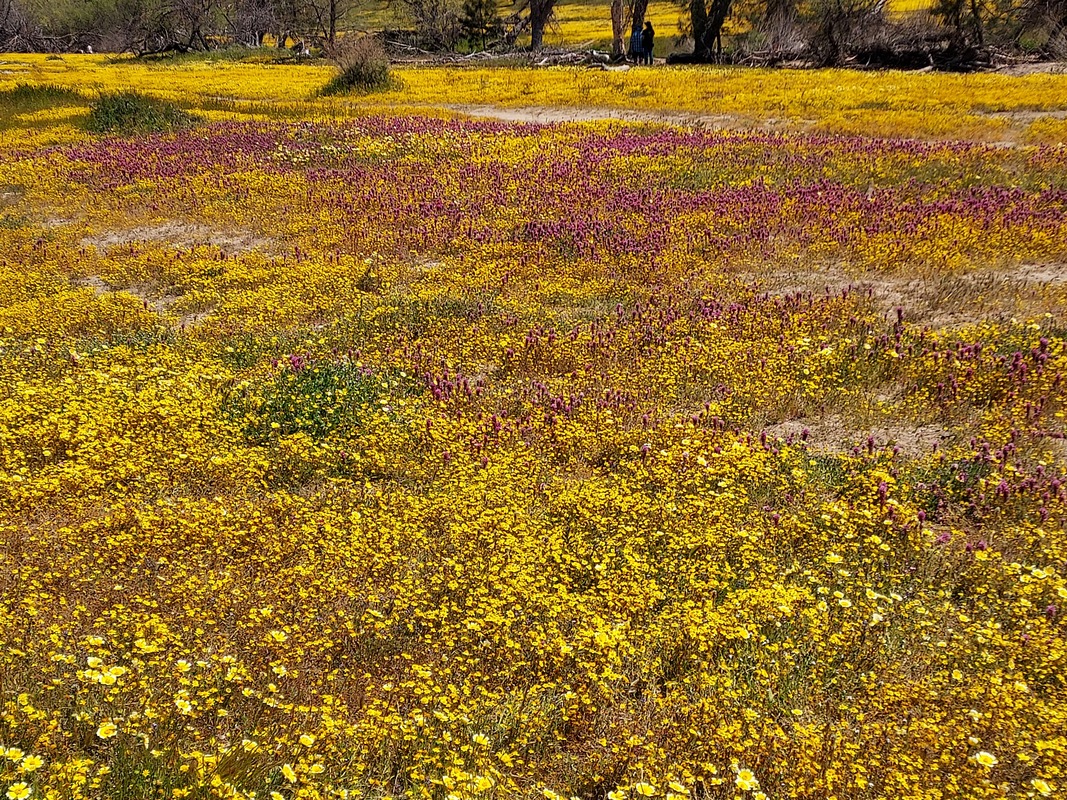
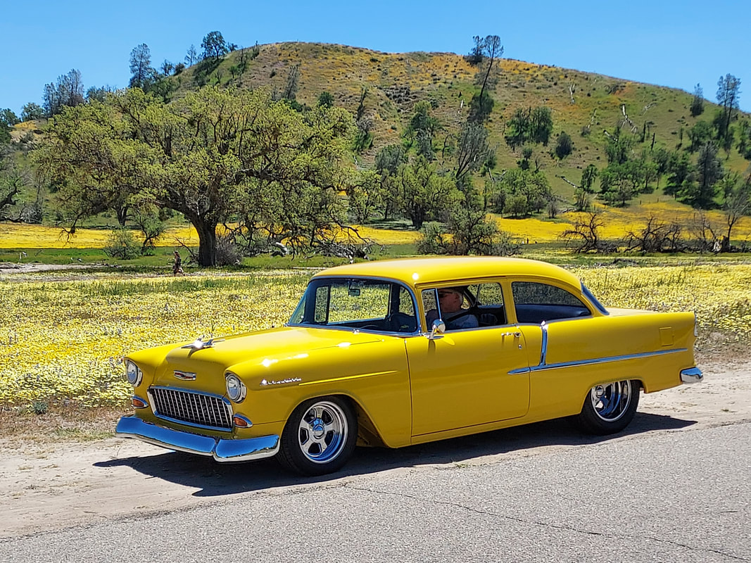
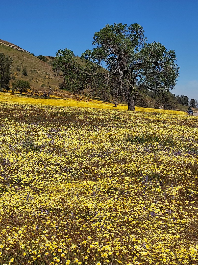
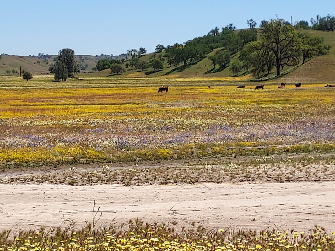
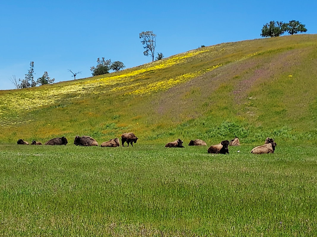
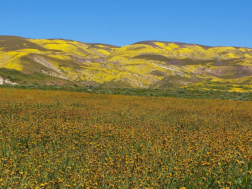
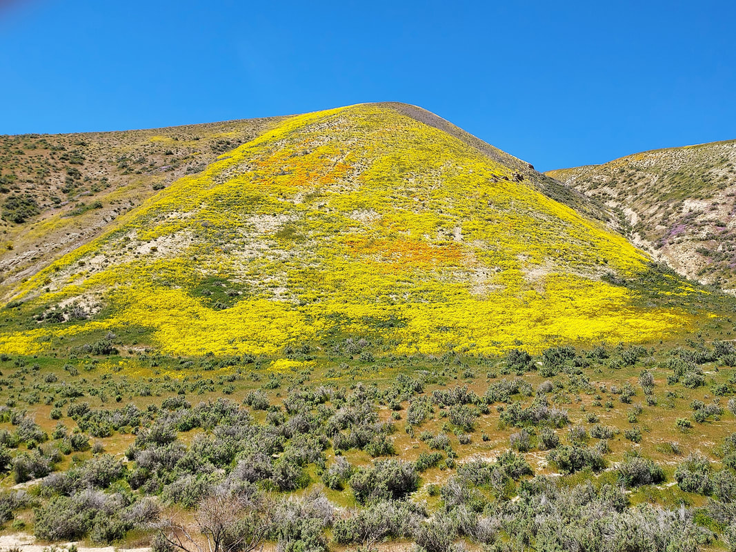
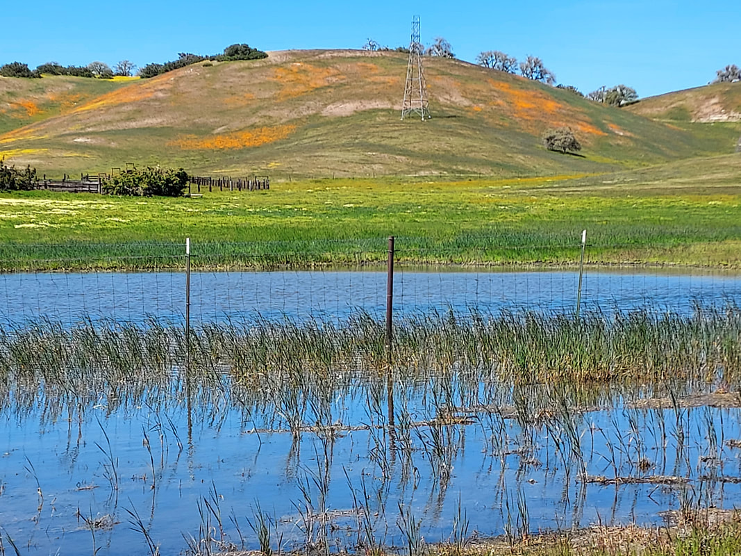
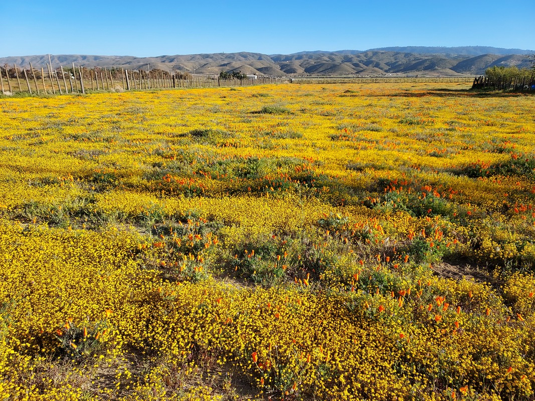
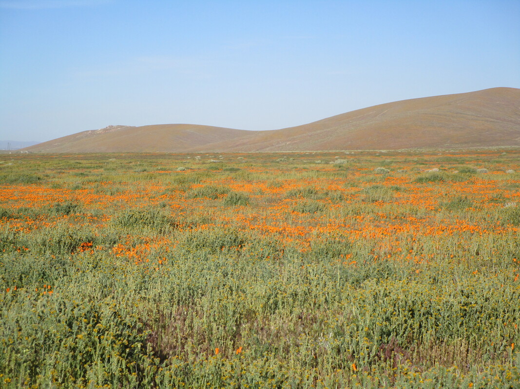
| Despite superlatives, and every “super” bloom having its own especially exquisite locations, this is indeed the best wildflower season I’ve experienced around the Carizzo Plain National Monument valley and Highway 58. We’ve previously traveled several variations of these and other roads in 2017 and 2019, including Goleta, Ventura, Antelope Valley Poppy Preserve, and the Joshua Tree National Monument. This time, we repeated our south-to-north route on Carizzo’s Soda Lake Road. Carizzo Plain National Monument and Highway 58 From I-5 just north of the split with Highway 99, we took Highway 166 westward. At Maricopa, Highway 166 turns south and joins Highway 33. We turned right onto Soda Lake Road and proceeded northwestward. Once we saw the official Carrizo Plain National Monument sign, we knew we were set for the afternoon. While the road starts out well-paved, about half of it is washboard-y but very accessible by our “regular” car if driven slowly, which isn’t difficult because we were stopping what seemed like every five minutes to take more pictures. Most of the color is on the north side of the road. Toward the top end of the road is a turnout with port-a-potties. Further along is the information station which closes at 5pm and has no other facilities. Upon reaching the west end of the road at about dusk, we turned left onto Highway 58, the Blue Star Memorial Highway, and stayed overnight in Santa Margarita. In the morning, we picked up a handy flyer, “Visit Santa Margarita,” which included a map highlighting local areas known for their wildflowers. We returned eastward on Highway 58, marveling at the extensive flowering seemingly at every turn, and the glory culminated at the junction of Shell Creek Road. Further along Highway 58, we passed the Soda Lake Road exit to Carizzo and continued eastward. The multicolored-flower hills to our north are the ones most spectacularly included in online postings. When we came to the junction of 7 Mile Road, we turned into the canyon following Highway 58, feeling swallowed up amongst the wildflower-covered hillsides rising sharply above us on both sides of the road. Once on the north side of the canyon, Highway 58 descends slowly and ultimately ends in Buttonwillow and the I-5 Freeway. Antelope Valley California Poppy Reserve We approached from the west on Highway 138. Just west of Neenach is a fenced plot of private land on the south side of the highway that we can always count on to be full of poppies. This year is no exception, although there're lots of other yellow flowers packed alongside the poppies. Continuing eastward, we saw a sign for the Poppy Reserve so turned south onto 170th Street West. Only a couple of patches of poppies were along this road, with the brown hills of the Reserve to the east. 170th Street West deadends at West Avenue F-8, so we followed the Reserve sign to the east, where it becomes Lancaster Road and passes the Reserve entrance. We didn't enter the Reserve because there were no poppies around at all - even remains of dead plants - and we'd been there years ago when they were plentiful. Despite the disappointment of no poppies at the Reserve, it was a glorious trip in Carizzo and along Highway 58, and we knew we'd come home to our own gloriously blooming California poppies! This week's heat may spur the wildflowers to bloom more vigorously, so do try to make the trip within a couple of weeks! For garden tasks, see May. For other major-topic blogs for this time of year, see Homepage. |
|
0 Comments
Leave a Reply. |
Categories |

 RSS Feed